Click to download now, finish the installation quickly, and directly unlock the all-round experience
Screenshots
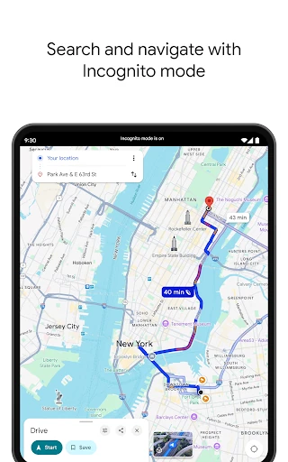
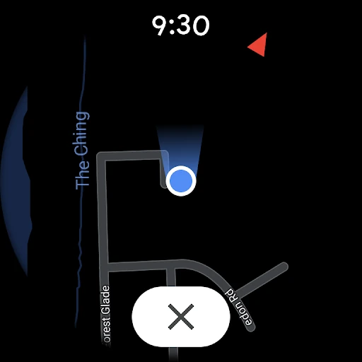
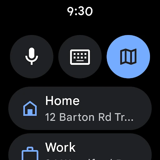
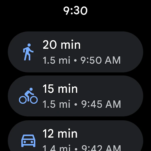
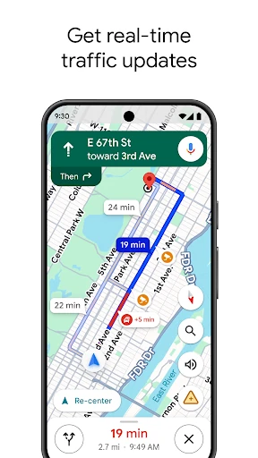
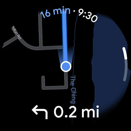
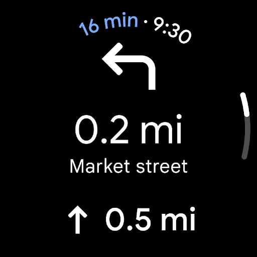



Click to download now, finish the installation quickly, and directly unlock the all-round experience
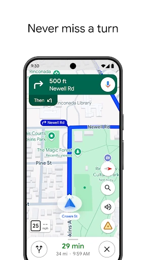
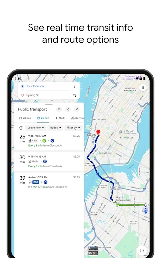
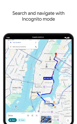
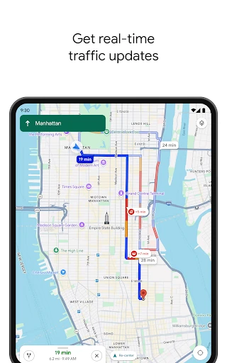
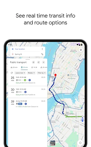
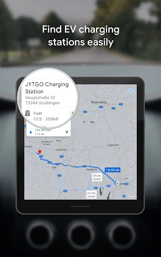
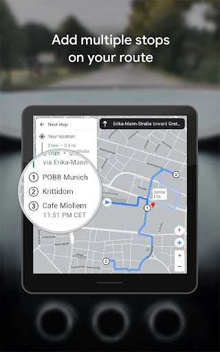
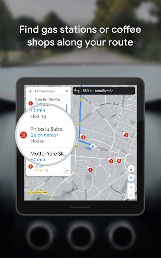
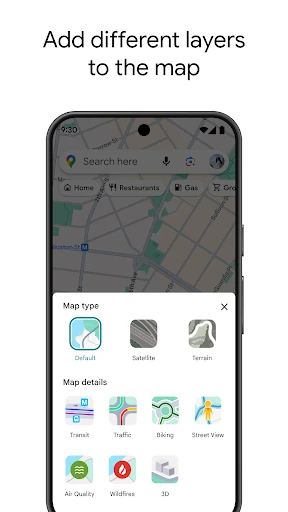
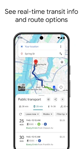
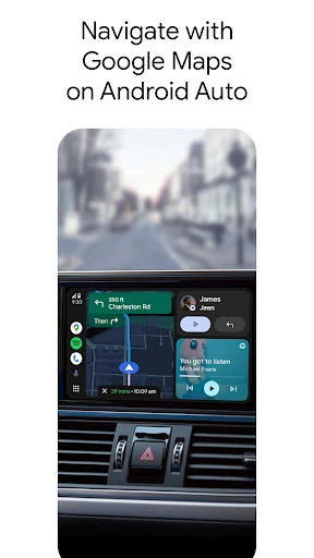
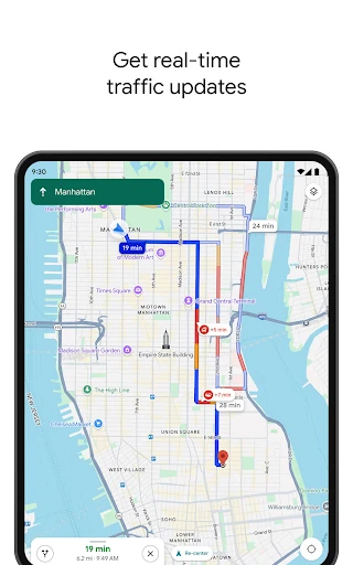
Google Maps is a navigation and local-search app for finding places, planning routes, and getting turn-by-turn guidance. It supports driving, walking, cycling, and public transport, with route information shaped by traffic and available transit data. It also provides map views, satellite imagery, Street View coverage, and details for businesses and other destinations.
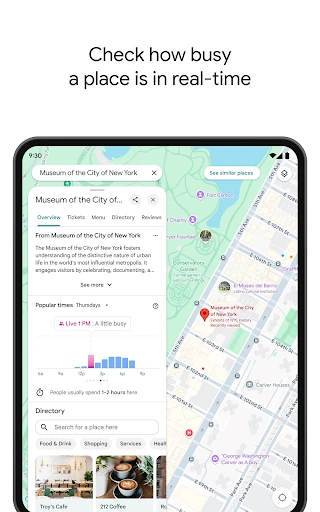
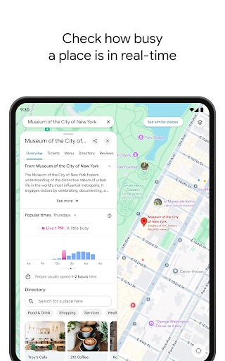
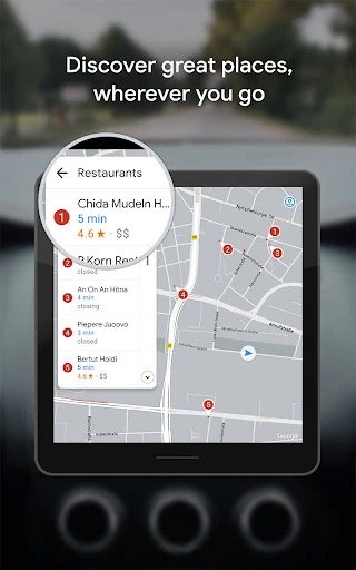
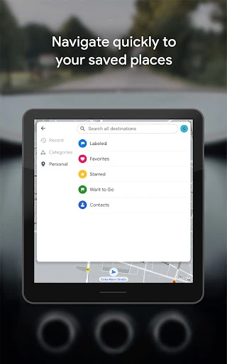
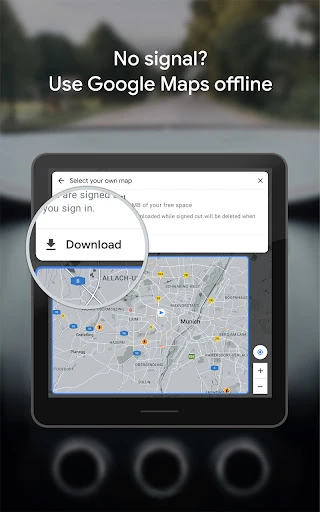
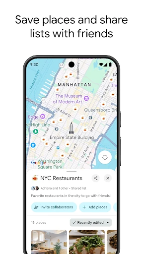
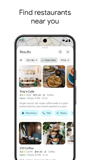
The app suits people who need one place to search for an address, compare nearby options, and start a route. Search results can include opening information, ratings, photos, and location details, while saved places help with repeat journeys. In supported areas, offline map regions can keep basic map and navigation data available when a connection is limited.
Google Maps is published by Google LLC in the Travel & Local category. It shows a rating of 3.17 out of 5 from 19,302,412 reviews, alongside 10,000,000,000+ installs. That reach makes it a familiar choice, but the rating also shows that broad coverage does not mean every user has the same experience.
This is a large, data-heavy app rather than a simple map viewer. Its usefulness depends on location coverage, current traffic and transit information, and the quality of local listings in the area being searched. Continuous navigation can also use location services and mobile data, so it is best suited to users who want detailed guidance and local discovery in one app rather than a minimal offline map.